Log in
All resources
Create a design
5,165 Free Images of Pages With Maps
maps from the earth and its inhabitants, vol. iv
maps from the earth and its inhabitants, vol. vii
maps indicating exploration
fonds ancely - bibliothèque municipale de toulouse - maps
raymond bonheur
steel engraving print
bibliothèques de toulouse
1890s maps showing history
victor levasseur - maps of france
maps from the earth and its inhabitants, vol. vi
old and new london, illustrated (1873) by walter thornbury and edward walford - bl 1887 copy
maps from the mechanical curator collection
maps in the british museum
jan claesz ten hoorn
the new forest, its history and its scenery
symbolism
atlas van loon
maps of sieges
petit atlas pittoresque des 48 quartiers de la ville de paris, david rumsey historical map collection
maps of paris from the david rumsey historical map collection
atlas sive cosmographicae (gerardus mercator, 1596)
16th-century maps of colombia
australia (1873) by booth
1870s maps of australia
maps of rivers of equatorial guinea
komo (river)
german renaissance
old maps of venice
coats of arms of mézières (ardennes)
victor levasseur - maps of france
coats of arms of cities in oise
pierre de la ramée
maps from the earth and its inhabitants, vol. iv
topographic maps of scotland
maps from the earth and its inhabitants, vol. vii
dungan revolt
maps from the earth and its inhabitants, vol. vi
population density maps of russia
maps from the earth and its inhabitants, vol. vii
population density maps of china
maps from the earth and its inhabitants, vol. xviii
maps of the conquest of peru
maps from the earth and its inhabitants, vol. vi
ferdinand von richthofen
maps from the earth and its inhabitants, vol. xvi
guillaume le testu
petit atlas pittoresque des 48 quartiers de la ville de paris, david rumsey historical map collection
maps of paris from the david rumsey historical map collection
eran laor cartographic collection
johann ulrich krauß
maps from the mechanical curator collection
realism
prints by johan frederik clemens in the statens museum for kunst
etching print
maps from the earth and its inhabitants, vol. iv
ecclesiastical maps
maps from the earth and its inhabitants, vol. vii
charles eugène perron
maps from the earth and its inhabitants, vol. iv
chorley, england
drawings of soldiers
jan anthonie coxie
the new forest, its history and its scenery
symbolism
victor levasseur - maps of the world
old maps of north america
kingdom of bohemia (1867–1918)
20th-century maps of bohemia
maps from the earth and its inhabitants, vol. vii
maps of the history of beijing
russian empire in thomas kitchen's general atlas (1773)
general atlas (1773)
maps of the battle of gettysburg
p.s. duval & son
scrambles amongst the alps
massif de la meije
victor levasseur - maps of france
19th-century maps of finistère
drawings in the metropolitan museum of art
jan anthonie coxie
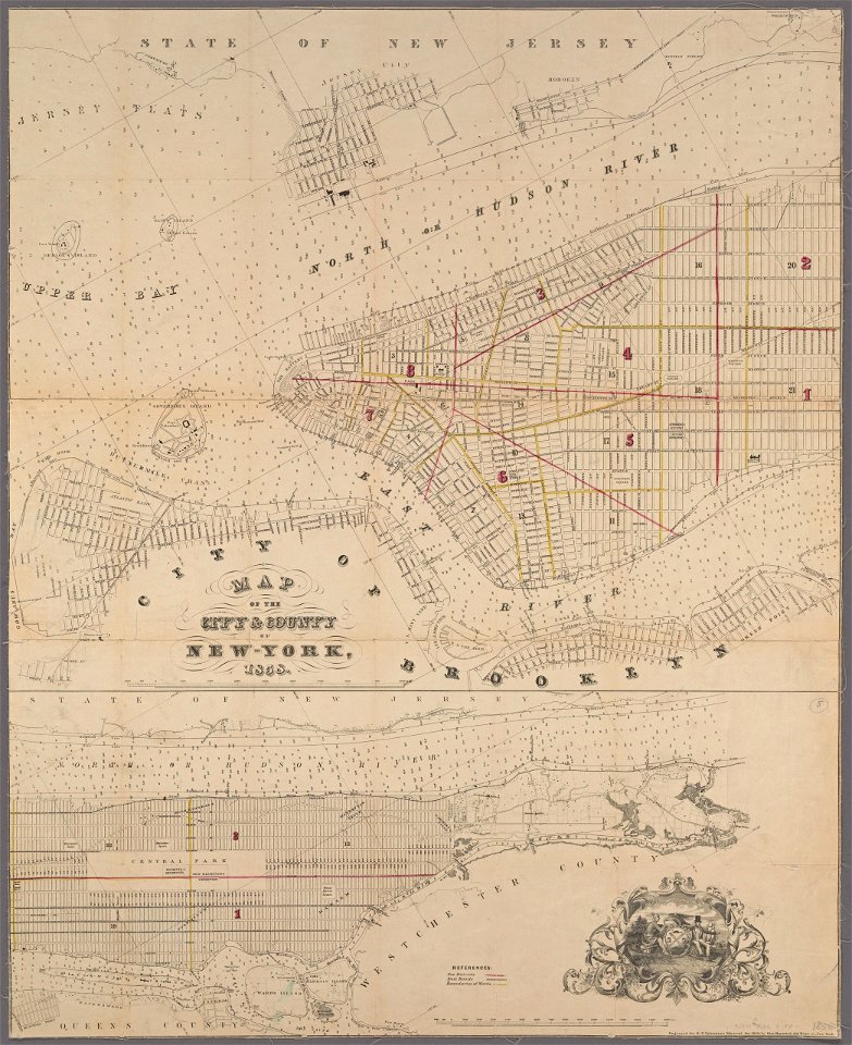
manual of the corporation of the city of new york (1858)
maps from valentine's manual
maps from the earth and its inhabitants, vol. x
1910s maps of somaliland
maps from the earth and its inhabitants, vol. xiii
somaliland
mdxii (numeral)
1628 maps
maps from the earth and its inhabitants, vol. vii
charles eugène perron
maps from the earth and its inhabitants, vol. vi
old maps of kyrgyzstan
maps from the earth and its inhabitants, vol. iv
falkirk
maps from the earth and its inhabitants, vol. vi
old maps of kyrgyzstan
geographia universalis (1545) in the british museum
german renaissance,northern renaissance
civitates orbis terrarum. contrafactur und beschreibung von den vornembsten stetten der welt. liber tertius
maps of philippeville by braun & hogenberg
civitates orbis terrarum. contrafactur und beschreibung von den vornembsten stetten der welt. liber tertius
maps of arnhem by braun & hogenberg
civitates orbis terrarum. contrafactur und beschreibung von den vornembsten stetten der welt. liber tertius
maps of fortress of charlemont by braun & hogenberg
maps from the earth and its inhabitants, vol. xvii
topographic maps of new york (state)
siege of bredevoort 1597
old maps of bredevoort
maps by willem and johannes blaeu
17th-century maps of france
18th-century copper engravings
jonas haas
the story of geographical discovery
maps from books
redeeming the republic (1890)
1890s maps showing history
maps by gouverneur k. warren
maps by edwin freyhold
the history and antiquities of the parish of lambeth, and the archiepiscopal palace (1827)
1820s maps of london
clifton (bristol ward)
old maps of clifton
clifton (bristol ward)
old maps of clifton
the comprehensive history of england (1876)
english-language maps showing history
a voyage to abyssinia, and travels into the interior of that country, executed under the orders of the british government in the years 1809 & 1810
john outhett
maps from the earth and its inhabitants, vol. xiv
maps of the sunda strait
maps of carmel valley, california
james meadows
a school geography (1898) by bird
old maps of the yellow sea
maps from the earth and its inhabitants, vol. iv
topographic maps of ireland
maps from the earth and its inhabitants, vol. ix
maps of south india
maps from the earth and its inhabitants, vol. iv
linguistic maps of the united kingdom
maps from the earth and its inhabitants, vol. xi
19th-century maps of chad
maps of weather and climate of the united kingdom
maps from the earth and its inhabitants, vol. iv
maps from the earth and its inhabitants, vol. xvii
maps of u.s. water resource subbasins
maps from the earth and its inhabitants, vol. xiv
1870s maps of new zealand
john rocque's 1746 map of london
old and new london (book)
french-language maps
david du vivier
maps from the earth and its inhabitants, vol. iv
maps of lewis, scotland
maps from the earth and its inhabitants, vol. ix
exploration of arabia
führer durch dalmatien (1899)
salona
australia (1873) by booth
1870s maps of australia
1858 in illinois
1858 maps
german renaissance,northern renaissance
ptolemy's 1st asian map
picturesque burma, past and present (1897)
1890s maps showing history
picturesque burma, past and present (1897)
1890s maps showing history
picturesque burma, past and present (1897)
1890s maps showing history
picturesque burma, past and present (1897)
19th-century maps of myanmar
la palestine (1883, by chardin)
travel maps of palestine
the comprehensive history of england (1876)
english-language maps showing history
coats of arms of cities in nièvre
andré dupin
the earth and its inhabitants, vol. vi: asia, vol. i
title pages of books about geography
old maps of the bering sea
old maps of kamchatka
untrodden peaks and unfrequented valleys (1873)
old maps of the alps
untrodden peaks and unfrequented valleys (1873)
maps of south tyrol
maps from the earth and its inhabitants, vol. xiii
exploration of africa
maps from the earth and its inhabitants, vol. x
1910s maps of somalia
old maps of south africa
maps of transvaal
maps from the earth and its inhabitants, vol. xii
1710s maps of africa
wanderings, south and east (1882)
old maps of polynesia
maps from the earth and its inhabitants, vol. iv
linguistic maps of wales
maps from the earth and its inhabitants, vol. vii
floods in china
maps from the earth and its inhabitants, vol. v
maps of sea ice
ismailïa. a narrative of the expedition to central africa for the suppression of the slave trade (1874)
1874 maps of africa
maps from the earth and its inhabitants, vol. xiii
maps of orange free state
maps from the earth and its inhabitants, vol. xiv
19th-century maps of borneo
très riches heures du duc de berry
early netherlandish painting
101 - 200 of 5,165
Next page
/ 52